
Free Printable Blank and Labeled Maps Pack Printables (PDF)
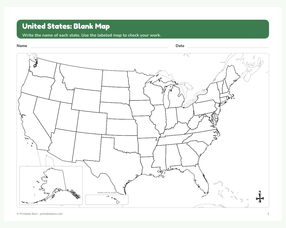
Here's a free page from our Blank and Labeled Maps Pack: US States, World, 7 Continents and Texas (Grades 2-8). Print it at home as often as you like: no email, no account.
Want the whole thing? The full Blank and Labeled Maps Pack: US States, World, 7 Continents and Texas (Grades 2-8) is $4.99, instant download, 23 pages.
See everything that's included →
See everything that's included →
About this printable
Clean, accurate outline maps drawn from real geographic data: every map comes as a blank practice copy and a labeled answer copy. Use them for geography drills, history units, coloring and map tests.
- 23 pages: US (50 states), world (continents + oceans), North America, South America, Europe, Africa, Asia, Australia & Oceania, Antarctica and Texas
- Every map in a blank and a labeled version; small countries are numbered with a key so labels stay readable
- Bonus 50 states, abbreviations and capitals reference page
- Drawn from Natural Earth public-domain map data with proper map projections (no clip art)
- Black-and-white printer friendly; US Letter and A4 PDFs included
- For personal, homeschool and single-classroom use
Get 14 more free pages
Join the list for the free sampler and new printables.